These Retro St. Louis Photographs Show the History of our 'Great River City' [PHOTOS]

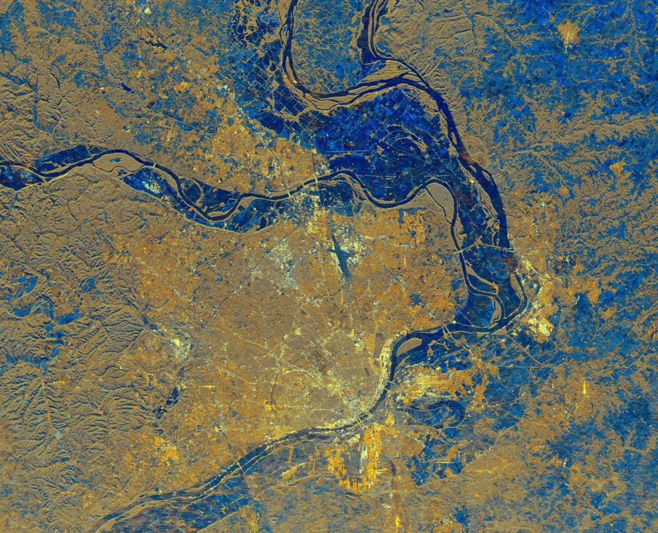
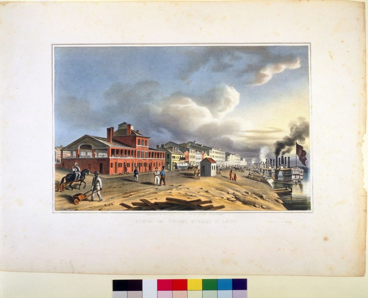
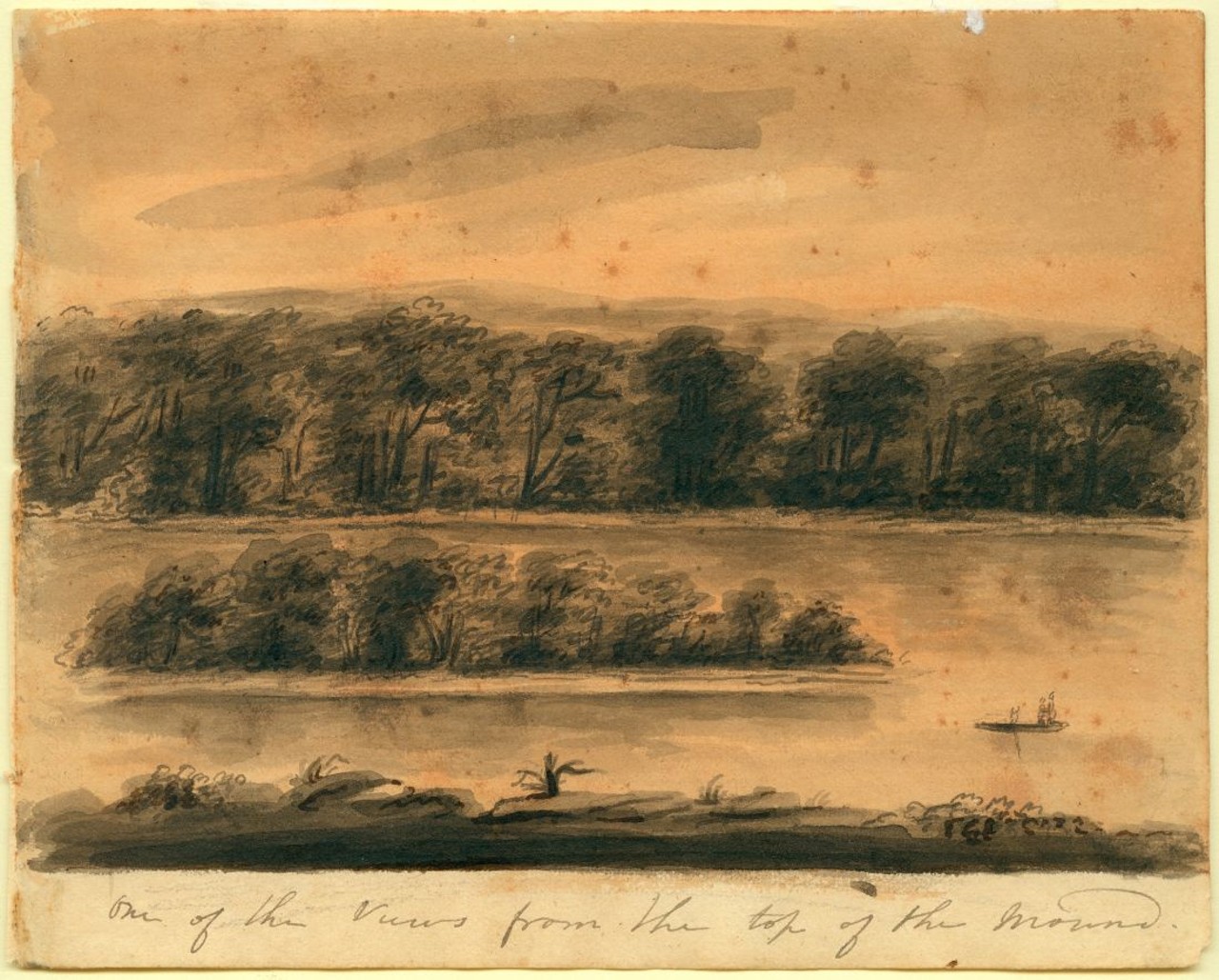
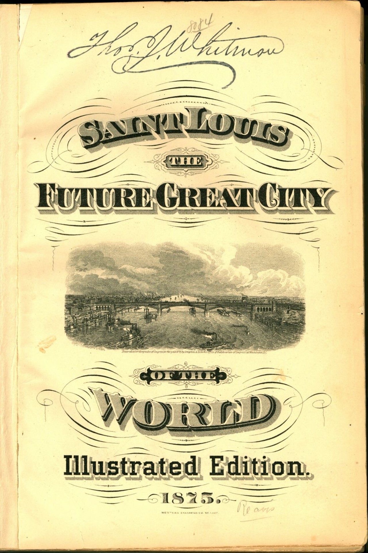
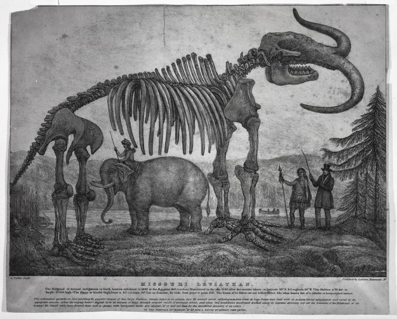
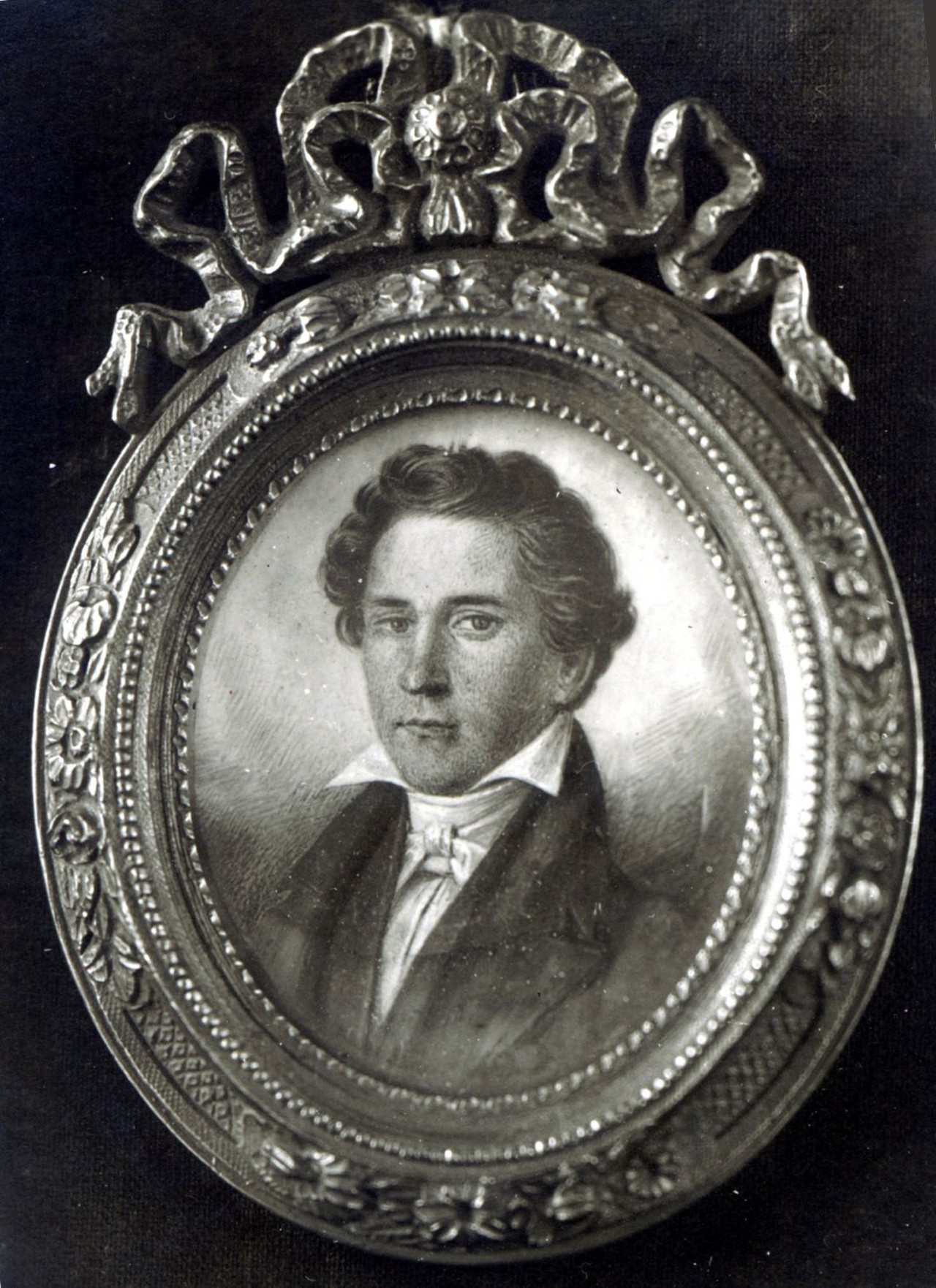
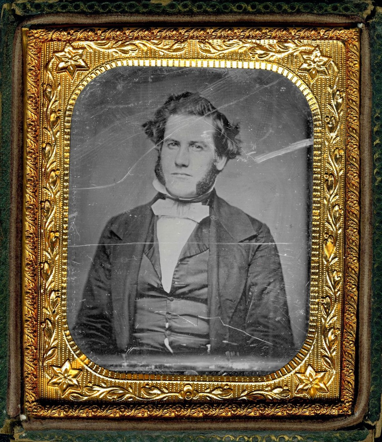
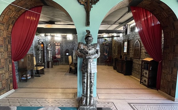
Featuring over 450 images (including hundreds of maps), the book Great River City: How the Mississippi River Shaped St. Louis examines the unique history of our city on the river.

Written by historian Andrew Wanko, this book is big and beautiful and a must-have coffee table book for every St. Louisan.

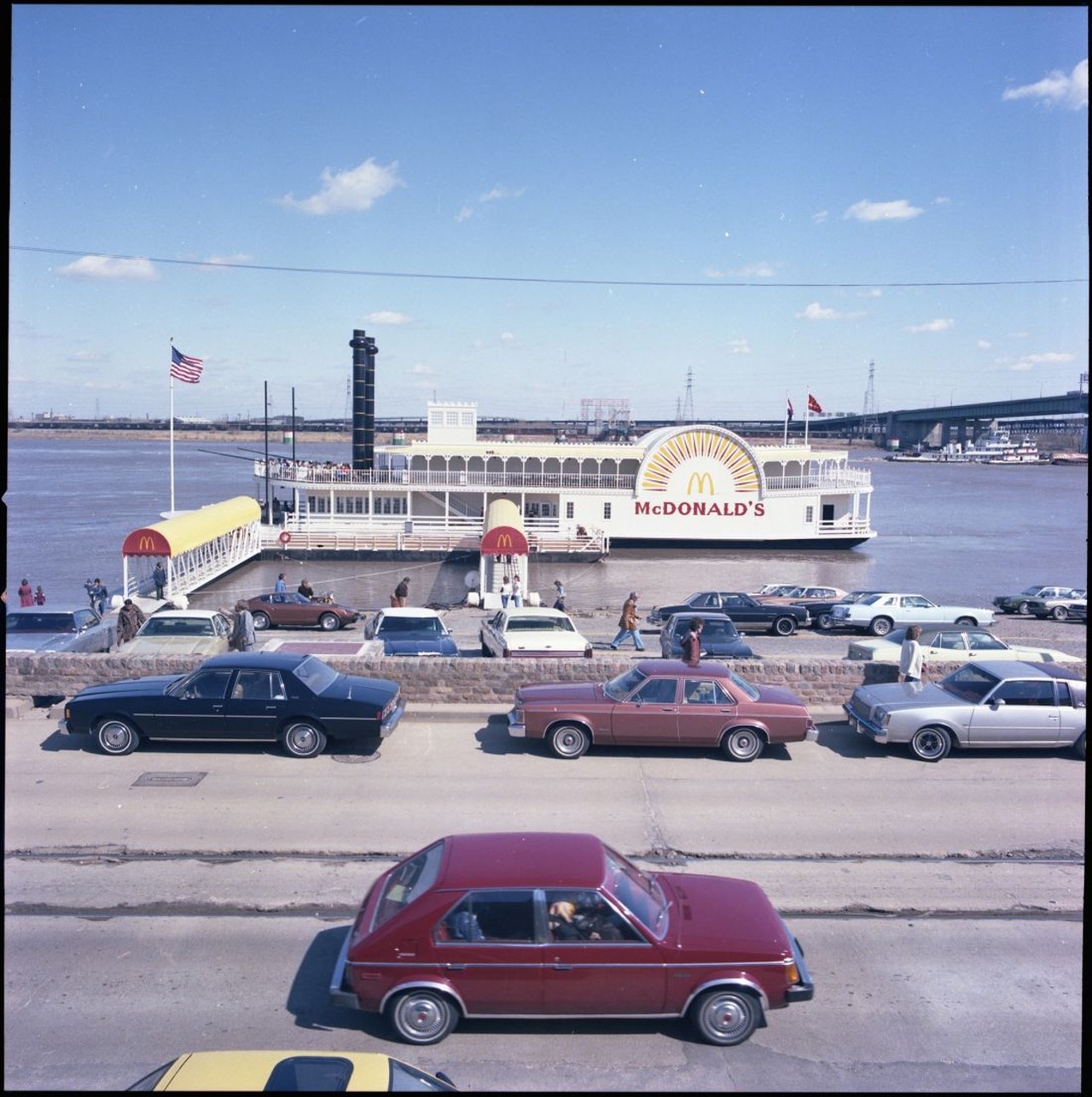
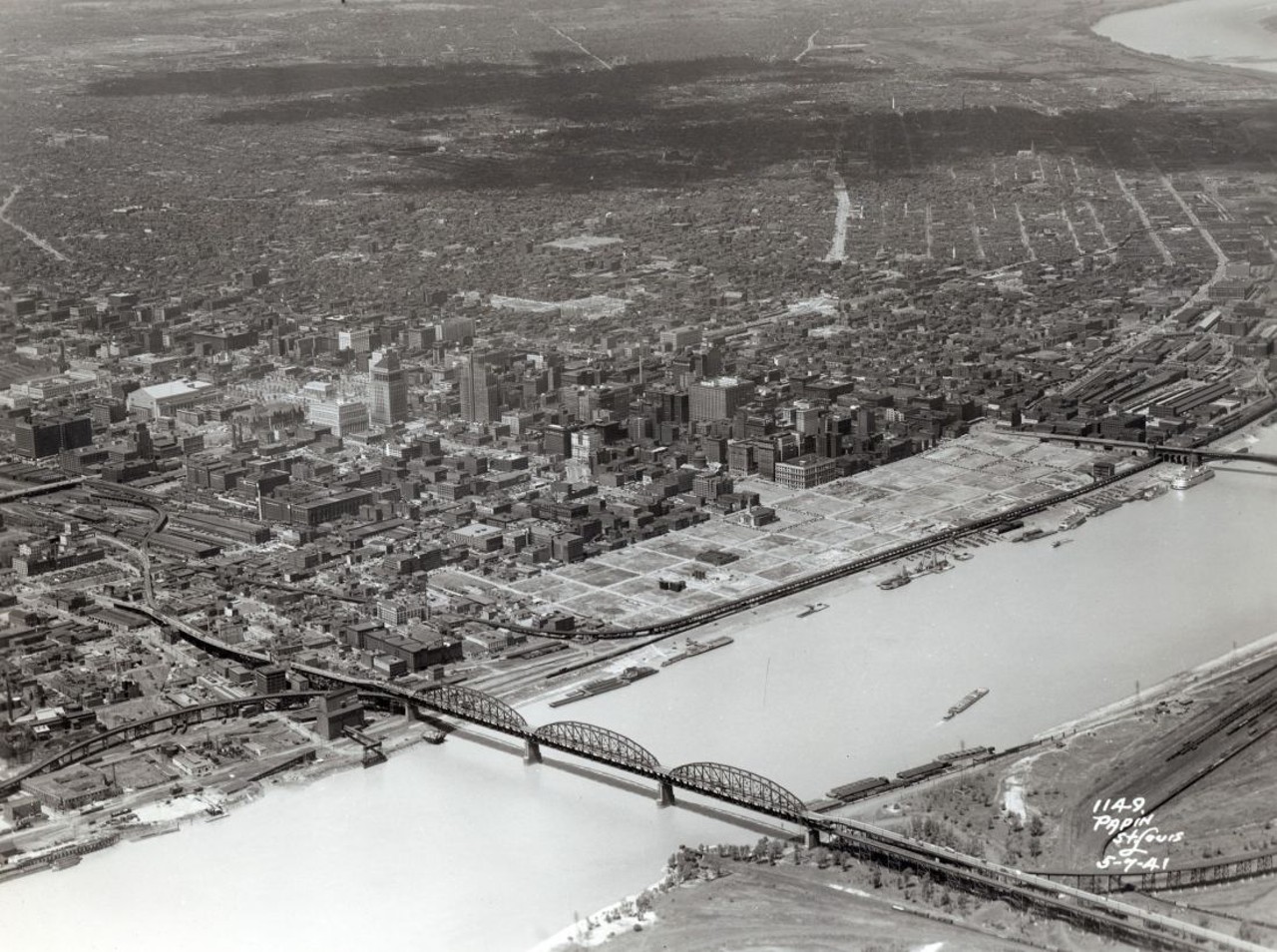
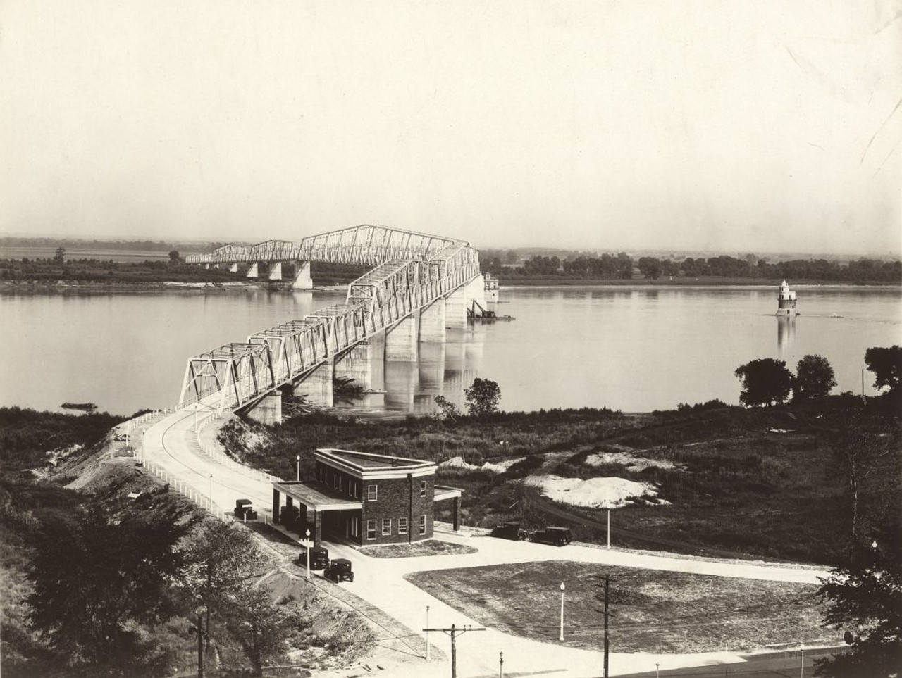
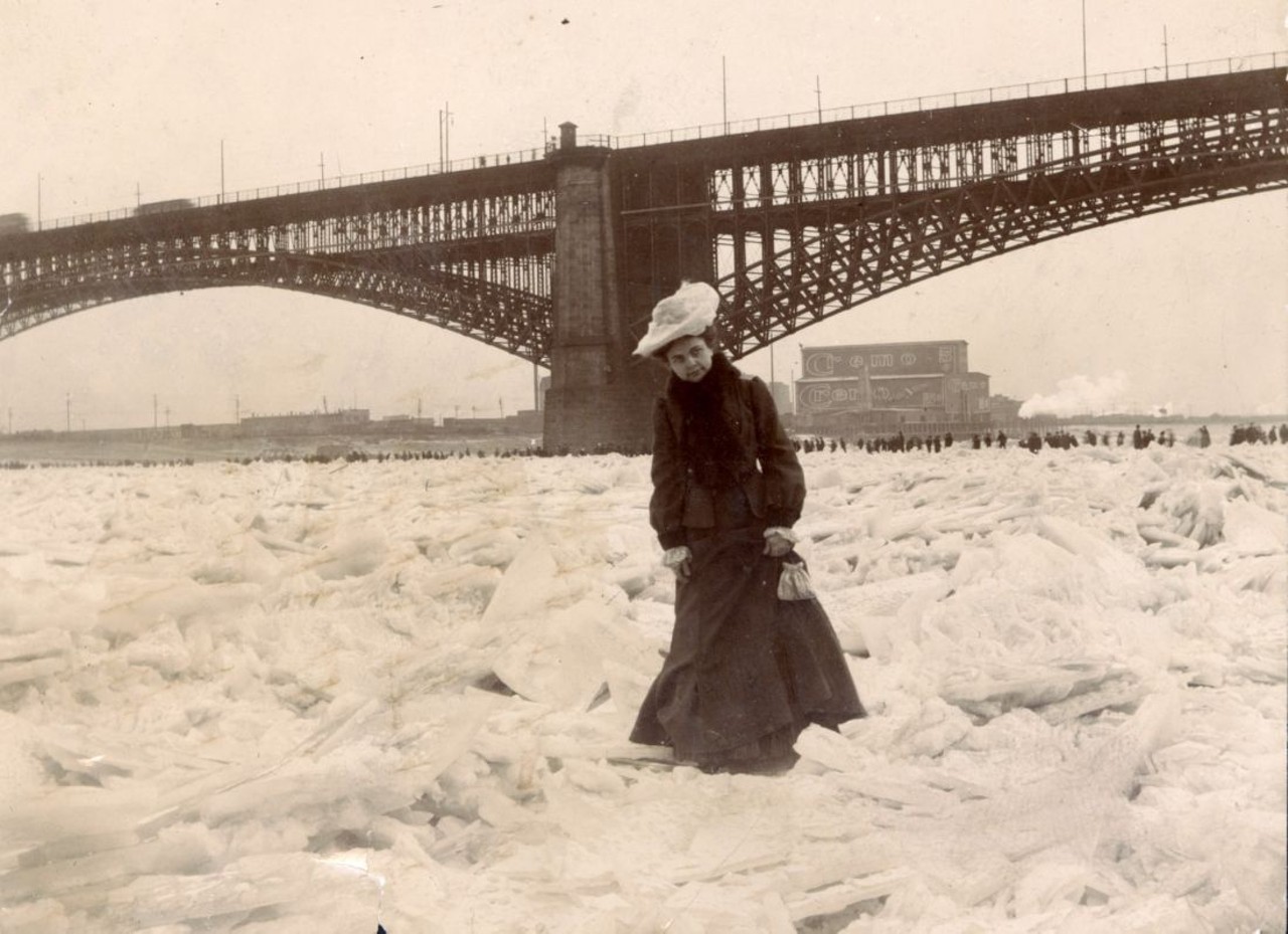
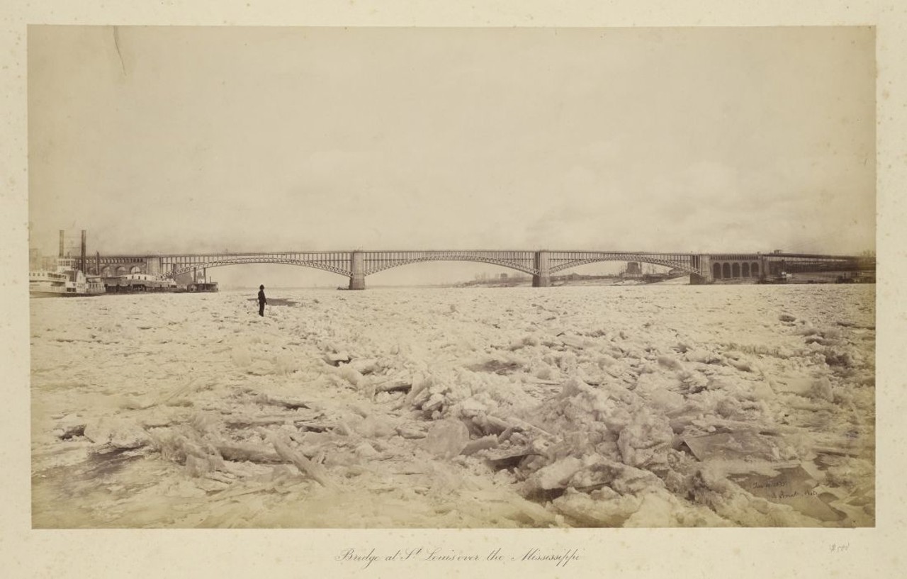
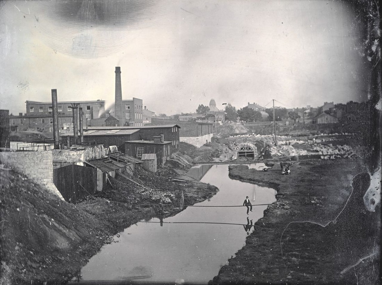
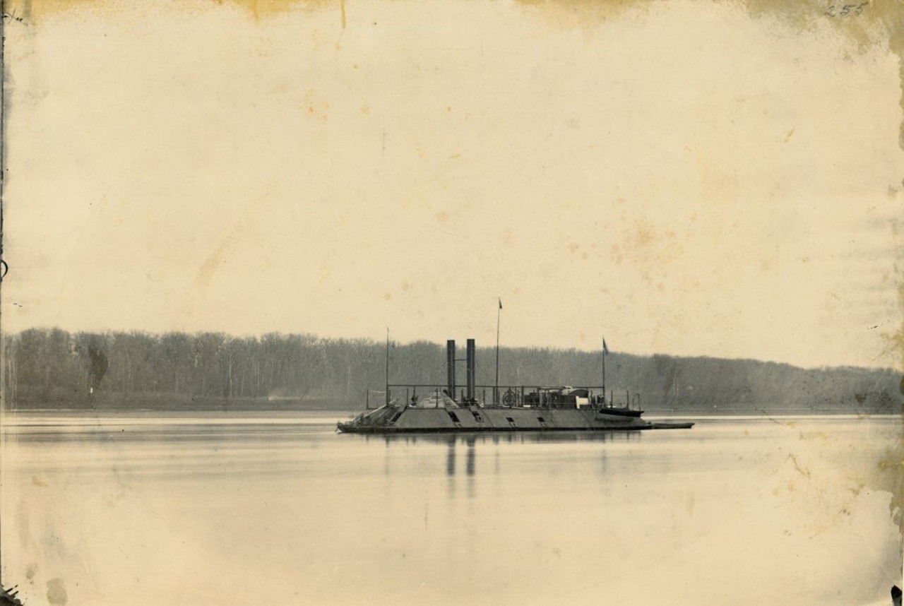
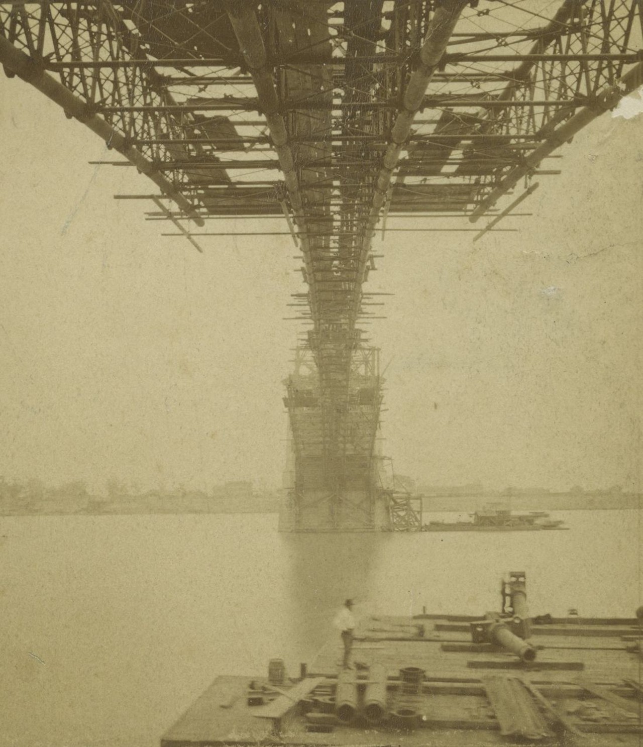
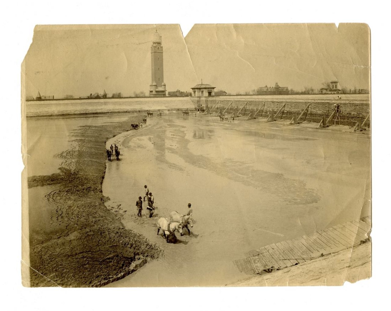
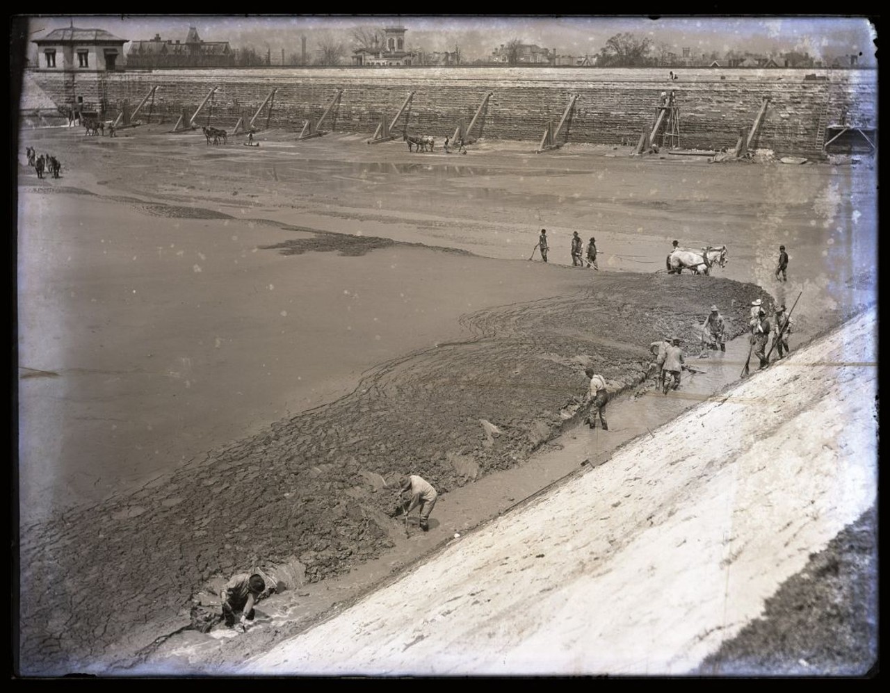
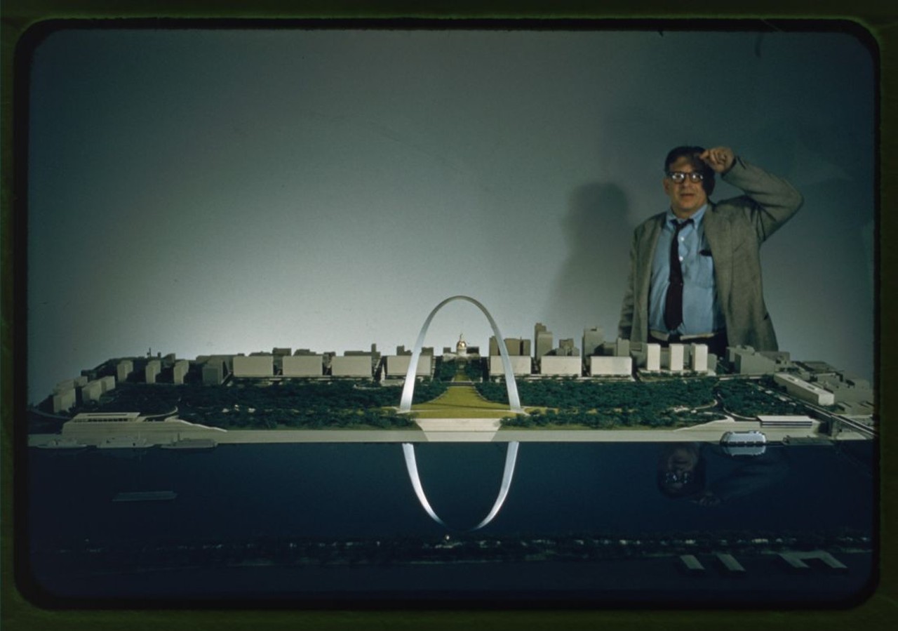
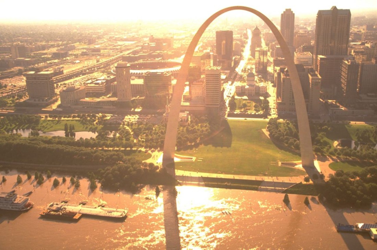
Check out this small sample of what we found inside.

Scroll down to view images
Page 1 of 2
THE McBARGE
"From 1980 to 2000 the Gateway Arch was joined by the golden arches of St. Louis's floating McDonald's restaurant. Styled in homage to the stern-wheel paddleboats of yesteryear, the restaurant spent two decades serving up floating fast food before declining sales and structural deterioration made it unprofitable. The McBarge quietly closed in 2000." — Andrew Wanko, 'Great River City' 
Floating McDonald's on the St. Louis Riverfront ca. 1980. Missouri Historical Society Collections
THE McBARGE

"From 1980 to 2000 the Gateway Arch was joined by the golden arches of St. Louis's floating McDonald's restaurant. Styled in homage to the stern-wheel paddleboats of yesteryear, the restaurant spent two decades serving up floating fast food before declining sales and structural deterioration made it unprofitable. The McBarge quietly closed in 2000." — Andrew Wanko, 'Great River City'

Floating McDonald's on the St. Louis Riverfront ca. 1980. Missouri Historical Society Collections
1 of 29
UNIDENTIFIED PILOT FLYING BENEATH THE EADS BRIDGE, 1920S
In 1910 the 'St. Louis Post-Dispatch' offered $2,500 to the first pilot daring enough to fly a plane through one of the Eads Bridge's arches. Thomas Baldwin was up to task and received cheers from crowds gathered on the levee when he threaded his plane into an opening less than 50 feet high on Sept. 10, 1910. Baldwin's stunt inspired riverfront daredevils for years to come, including this unidentified biplane pilot.
Bi-plane flying under the Eads Bridge. Photograph by Russell Froelich, ca. 1930s. Missouri Historical Society Collections.
UNIDENTIFIED PILOT FLYING BENEATH THE EADS BRIDGE, 1920S

In 1910 the 'St. Louis Post-Dispatch' offered $2,500 to the first pilot daring enough to fly a plane through one of the Eads Bridge's arches. Thomas Baldwin was up to task and received cheers from crowds gathered on the levee when he threaded his plane into an opening less than 50 feet high on Sept. 10, 1910. Baldwin's stunt inspired riverfront daredevils for years to come, including this unidentified biplane pilot.

Bi-plane flying under the Eads Bridge. Photograph by Russell Froelich, ca. 1930s. Missouri Historical Society Collections.
2 of 29
AFTER CLEARING THE RIVERFRONT, 1941
"Nearly 40 blocks totaling more than 50 million square feet of business space were destroyed for the Jefferson National Expansion Memorial. These demolished streets and structures made up most of St. Louis's original village from 1764 and were among the city's most historically significant." — Andrew Wanko, 'Great River City'
Aerial view of St. Louis riverfront, showing progress on demolition of the Jefferson National Expansion Memorial site. 7, May 1941. Photograph by P.R. Papin Aerial Surveys, 1941. Missouri Historical Society Collections
AFTER CLEARING THE RIVERFRONT, 1941

"Nearly 40 blocks totaling more than 50 million square feet of business space were destroyed for the Jefferson National Expansion Memorial. These demolished streets and structures made up most of St. Louis's original village from 1764 and were among the city's most historically significant." — Andrew Wanko, 'Great River City'

Aerial view of St. Louis riverfront, showing progress on demolition of the Jefferson National Expansion Memorial site. 7, May 1941. Photograph by P.R. Papin Aerial Surveys, 1941. Missouri Historical Society Collections
3 of 29
CHAIN OF ROCKS BRIDGE, 1929. ROUTE 66 (1936 - 1955), ROUTE 66 BYPASS (1956 - 1965)
"The bridge's famous 22-degree dogleg bend resulted from the Corps of Engineers' demands that the bridge face riverboat traffic head on. The Chain of Rocks Bridge closed in 1970, just after the toll-free Interstate 270 bridge opened up stream. In 1981 it served as a backdrop in the dystopian sci-fi film 'Escape from New York.' Finally in 1999, Trailnet reopened the bridge as a bicycle and pedestrian crossing." — Andrew Wanko, 'Great River City' 
Photograph by W.C. Persons, 1929. Missouri Historical Society Collections.
CHAIN OF ROCKS BRIDGE, 1929. ROUTE 66 (1936 - 1955), ROUTE 66 BYPASS (1956 - 1965)

"The bridge's famous 22-degree dogleg bend resulted from the Corps of Engineers' demands that the bridge face riverboat traffic head on. The Chain of Rocks Bridge closed in 1970, just after the toll-free Interstate 270 bridge opened up stream. In 1981 it served as a backdrop in the dystopian sci-fi film 'Escape from New York.' Finally in 1999, Trailnet reopened the bridge as a bicycle and pedestrian crossing." — Andrew Wanko, 'Great River City'

Photograph by W.C. Persons, 1929. Missouri Historical Society Collections.
4 of 29
THE MISSISSIPPI RIVER FROZEN SOLID, FEBRUARY 1905
"St. Louisans couldn't resist feeling the frozen river beneath their feet — especially after photography became widespread and they could snap a photo of themselves doing it. The frozen Mississippi was a novelty even worthy of a postcard for those who couldn't see it for themselves." — Andrew Wanko, 'Great River City'
Woman crossing frozen river during the Ice Gorge of 1905. Photograph, 1905. Missouri Historical Society Collections.
THE MISSISSIPPI RIVER FROZEN SOLID, FEBRUARY 1905

"St. Louisans couldn't resist feeling the frozen river beneath their feet — especially after photography became widespread and they could snap a photo of themselves doing it. The frozen Mississippi was a novelty even worthy of a postcard for those who couldn't see it for themselves." — Andrew Wanko, 'Great River City'

Woman crossing frozen river during the Ice Gorge of 1905. Photograph, 1905. Missouri Historical Society Collections.
5 of 29
BRIDGE AT ST. LOUIS OVER THE MISSISSIPPI, JANUARY 10, 1875
"Yesterday I went in company with some ladies and gentlemen, and we walked over on the ice to the Illinois shore. Don't be alarmed, for the icee is 5 or 6 inches thick and they are constantly passing over with horses and loaded sleighs. Indeed while we were on the ice, a man passed us with a sleigh load of coffee in sacks at a full gallop. The river is covered with skaters cutting all sorts of capers."— J.F. Sowell, 1845
Bridge at St. Louis over the Mississippi, January 10, 1875. Albumen silver print, Robert Benecke. Missouri Historical Society Collections.
BRIDGE AT ST. LOUIS OVER THE MISSISSIPPI, JANUARY 10, 1875

"Yesterday I went in company with some ladies and gentlemen, and we walked over on the ice to the Illinois shore. Don't be alarmed, for the icee is 5 or 6 inches thick and they are constantly passing over with horses and loaded sleighs. Indeed while we were on the ice, a man passed us with a sleigh load of coffee in sacks at a full gallop. The river is covered with skaters cutting all sorts of capers."— J.F. Sowell, 1845

Bridge at St. Louis over the Mississippi, January 10, 1875. Albumen silver print, Robert Benecke. Missouri Historical Society Collections.
6 of 29
MILL CREEK SEWER UNDER CONSTRUCTION NEAR TENTH STREET, 1868
"The Mill Creek sewer had a 20-feet-wide opening and required structural walls nearly 6 feet thick. St. Louis's natural bedrock formed its bas, and where there was no stable bedrock to be found, 9-inch square timbers were used." — Andrew Wanko, 'Great River City'
Chouteau's Mill Creek, East from Thirteenth and Gratiot showing construction of the Mill Creek Sewer. A man can be seen sitting on the pipe over the stream. Daguerreotype by Thomas M. Easterly, 1868. Missouri Historical Society Collections.
MILL CREEK SEWER UNDER CONSTRUCTION NEAR TENTH STREET, 1868

"The Mill Creek sewer had a 20-feet-wide opening and required structural walls nearly 6 feet thick. St. Louis's natural bedrock formed its bas, and where there was no stable bedrock to be found, 9-inch square timbers were used." — Andrew Wanko, 'Great River City'

Chouteau's Mill Creek, East from Thirteenth and Gratiot showing construction of the Mill Creek Sewer. A man can be seen sitting on the pipe over the stream. Daguerreotype by Thomas M. Easterly, 1868. Missouri Historical Society Collections.
7 of 29
USS LOUISVILLE GUNBOAT, CA. 1863
Photograph ca. 1863. Missouri Historical Society Collections.
USS LOUISVILLE GUNBOAT, CA. 1863

Photograph ca. 1863. Missouri Historical Society Collections.
8 of 29
THE EADS BRIDGE UNDER CONSTRUCTION FROM BELOW, 1874
"Perhaps better than anyone else, James Eads understood the violence, power, and volatility of the Mississippi River. The bridge would have to withstand strong currents, crushing ice floes, and floods that tripled the river's volume." — Andrew Wanko, 'Great River City
A view of the Eads Bridge under construction. Photograph, 1874. Missouri Historical Society Collections.
THE EADS BRIDGE UNDER CONSTRUCTION FROM BELOW, 1874

"Perhaps better than anyone else, James Eads understood the violence, power, and volatility of the Mississippi River. The bridge would have to withstand strong currents, crushing ice floes, and floods that tripled the river's volume." — Andrew Wanko, 'Great River City

A view of the Eads Bridge under construction. Photograph, 1874. Missouri Historical Society Collections.
9 of 29
CLEANING MUD FROM THE COMPTON HILL RESERVOIR, EARLY 1900s
"The 1871 St. Louis water system provided citizens with reliable water, but it still wasn't clean. Periodically the city reservoirs had to be drained and feet of mud scraped from their bottoms." — Andrew Wanko, 'Great River City'
Missouri Historical Society Collections
CLEANING MUD FROM THE COMPTON HILL RESERVOIR, EARLY 1900s

"The 1871 St. Louis water system provided citizens with reliable water, but it still wasn't clean. Periodically the city reservoirs had to be drained and feet of mud scraped from their bottoms." — Andrew Wanko, 'Great River City'

Missouri Historical Society Collections
10 of 29
CLEANING THE SETTLING BASINS AT RESERVOIR PARK, EARLY 1900s
"The 1871 St. Louis water system provided citizens with reliable water, but it still wasn't clean. Periodically the city reservoirs had to be drained and feet of mud scraped from their bottoms." — Andrew Wanko, 'Great River City'
Missouri Historical Society Collections
CLEANING THE SETTLING BASINS AT RESERVOIR PARK, EARLY 1900s

"The 1871 St. Louis water system provided citizens with reliable water, but it still wasn't clean. Periodically the city reservoirs had to be drained and feet of mud scraped from their bottoms." — Andrew Wanko, 'Great River City'

Missouri Historical Society Collections
11 of 29
EERO SAARINEN WITH GATEWAY ARCH MODEL 1960
"By winning the JNEM competition, Eero Saarinen stepped out from the shadow of his more famous father, architect Eliel Saarinen who had a competition entry of his own. Sadly, Eero Saarinen never saw his masterpiece completed. Suffering from a brain tumor, he died on Sept. 1, 1961." — Andrew Wanko, 'Great River City'
Photo courtesy of the Library of Congress.
EERO SAARINEN WITH GATEWAY ARCH MODEL 1960

"By winning the JNEM competition, Eero Saarinen stepped out from the shadow of his more famous father, architect Eliel Saarinen who had a competition entry of his own. Sadly, Eero Saarinen never saw his masterpiece completed. Suffering from a brain tumor, he died on Sept. 1, 1961." — Andrew Wanko, 'Great River City'

Photo courtesy of the Library of Congress.
12 of 29
GATEWAY ARCH FLOOD OF 1993
"The Great Flood of 1993 was among the largest floods in St. Louis history. In August 1993 the river crested at 19 feet above flood stage, and the Missouri and Mississippi rivers joined more than 20 miles upstream from their normal confluence." - Andrew Wanko
FEMA images.
GATEWAY ARCH FLOOD OF 1993

"The Great Flood of 1993 was among the largest floods in St. Louis history. In August 1993 the river crested at 19 feet above flood stage, and the Missouri and Mississippi rivers joined more than 20 miles upstream from their normal confluence." - Andrew Wanko

FEMA images.
13 of 29
ST. LOUIS AND THE MISSOURI AND MISSISSIPPI RIVER CONFLUENCE FROM SPACE, 1999
NASA images.
ST. LOUIS AND THE MISSOURI AND MISSISSIPPI RIVER CONFLUENCE FROM SPACE, 1999

NASA images.
14 of 29
JOHN CASPAR WILD'S VIEW OF TH LEVEE, 1840
"In contrast to Dicken's writings, John Caspar Wild's images presented St. Louis at its finest. One of his eight views shows the St. Louis levee, as if the viewer had just stepped off a steamboat. The levee's flurry of movement stretches into the distance, as barrels are rolled onto steamboats and crowds converse about shipments and prices." — Andrew Wanko, 'Great River City'
View of Front Street, St. Louis. Lithograph by J.C. Wild, 1840. Missouri Historical Society Collections.
JOHN CASPAR WILD'S VIEW OF TH LEVEE, 1840

"In contrast to Dicken's writings, John Caspar Wild's images presented St. Louis at its finest. One of his eight views shows the St. Louis levee, as if the viewer had just stepped off a steamboat. The levee's flurry of movement stretches into the distance, as barrels are rolled onto steamboats and crowds converse about shipments and prices." — Andrew Wanko, 'Great River City'

View of Front Street, St. Louis. Lithograph by J.C. Wild, 1840. Missouri Historical Society Collections.
15 of 29
SKETCH OF BLOODY ISLAND, 1818
"Bloody Island formed sometime in the late 1790s. Anna Marie von Phul drew this sketch of it in 1818. Just one year earlier Charles Lucas had been killed there in a duel with future Missouri senator Thomas Hart Benton." — Andrew Wanko, 'Great River City'. 
One of the views from the top of the Mound. Watercolor on paper by Anna Maria von Phul, 1818. Missouri Historical Society Collections.
SKETCH OF BLOODY ISLAND, 1818

"Bloody Island formed sometime in the late 1790s. Anna Marie von Phul drew this sketch of it in 1818. Just one year earlier Charles Lucas had been killed there in a duel with future Missouri senator Thomas Hart Benton." — Andrew Wanko, 'Great River City'.

One of the views from the top of the Mound. Watercolor on paper by Anna Maria von Phul, 1818. Missouri Historical Society Collections.
16 of 29
'SAINT LOUIS, THE FUTURE GREAT CITY OF THE WORLD'
"'St. Louis, the Future Great City of the World,' written by Logan Uriah Reavis and published in 1870 claimed that St. Louis would not just be the nation's next capital but a new benchmark of world civilization. He effortlessly wrote off any other American city as the "future great city," including New York ("a barren, rocky, island"), Chicago ("a swampy prairie"), and Washington, DC ("a flat sterile, uninteresting region")." — Andrew Wanko, 'Great River City'
Cover page to 'St. Louis, The Future Great City of the World.' L. U. Reavis, 1875. Missouri Historical Society Collections.
'SAINT LOUIS, THE FUTURE GREAT CITY OF THE WORLD'

"'St. Louis, the Future Great City of the World,' written by Logan Uriah Reavis and published in 1870 claimed that St. Louis would not just be the nation's next capital but a new benchmark of world civilization. He effortlessly wrote off any other American city as the "future great city," including New York ("a barren, rocky, island"), Chicago ("a swampy prairie"), and Washington, DC ("a flat sterile, uninteresting region")." — Andrew Wanko, 'Great River City'

Cover page to 'St. Louis, The Future Great City of the World.' L. U. Reavis, 1875. Missouri Historical Society Collections.
17 of 29
MISSOURI LEVIATHAN
Albert Koch was a man equal parts amateur archaeologist and vaudville promoter who operated a hall of wonders called the St. Louis Museum on the city's river front. In 1841 he claimed to have discovered the bones of an enormus tusked beast "yet to be discovered by science." He called it the Missouri Leviathan. He actually did uncover the real bones of a prehistoric mastodon. In 1843, Koch sold his Missouri Leviathan to the British Museum. The British Museum eventually reassembled the bones into an accurate mastodon skeleton. Today it stands in the main hall of London's Natural History Museum, where it is seen by millions of people every year.
MISSOURI LEVIATHAN

Albert Koch was a man equal parts amateur archaeologist and vaudville promoter who operated a hall of wonders called the St. Louis Museum on the city's river front. In 1841 he claimed to have discovered the bones of an enormus tusked beast "yet to be discovered by science." He called it the Missouri Leviathan. He actually did uncover the real bones of a prehistoric mastodon. In 1843, Koch sold his Missouri Leviathan to the British Museum. The British Museum eventually reassembled the bones into an accurate mastodon skeleton. Today it stands in the main hall of London's Natural History Museum, where it is seen by millions of people every year.
18 of 29
CHARLES LUCAS (1792 - 1817)
"In 1817, Thomas Hart Benton killed his rival attorney Charles Lucas in a duel on Bloody Island. A small island in the middle of the Mississippi River near the St. Louis levee, Bloody Island would be the site of many other duels between St. Louis "gentlemen." - Andrew Wanko
Photograph of miniature by William Lucas, ca. 1815. Missouri Historical Society Collections.
CHARLES LUCAS (1792 - 1817)

"In 1817, Thomas Hart Benton killed his rival attorney Charles Lucas in a duel on Bloody Island. A small island in the middle of the Mississippi River near the St. Louis levee, Bloody Island would be the site of many other duels between St. Louis "gentlemen." - Andrew Wanko

Photograph of miniature by William Lucas, ca. 1815. Missouri Historical Society Collections.
19 of 29
MAJOR THOMAS HART BENTON
"In 1817, Thomas Hart Benton killed his rival attorney Charles Lucas in a duel on Bloody Island. A small island in the middle of the Mississippi River near the St. Louis levee, Bloody Island would be the site of many other duels between St. Louis "gentlemen." - Andrew Wanko
Photograph of miniature by William Lucas, ca. 1815. Missouri Historical Society Collections.
MAJOR THOMAS HART BENTON

"In 1817, Thomas Hart Benton killed his rival attorney Charles Lucas in a duel on Bloody Island. A small island in the middle of the Mississippi River near the St. Louis levee, Bloody Island would be the site of many other duels between St. Louis "gentlemen." - Andrew Wanko

Photograph of miniature by William Lucas, ca. 1815. Missouri Historical Society Collections.
20 of 29
Page 1 of 2