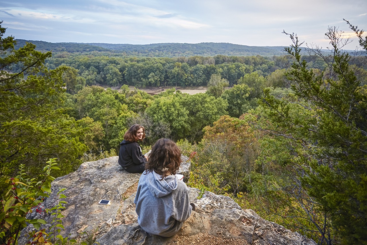
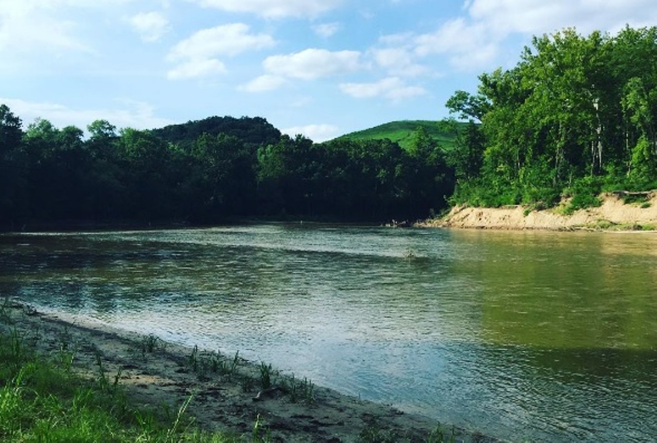
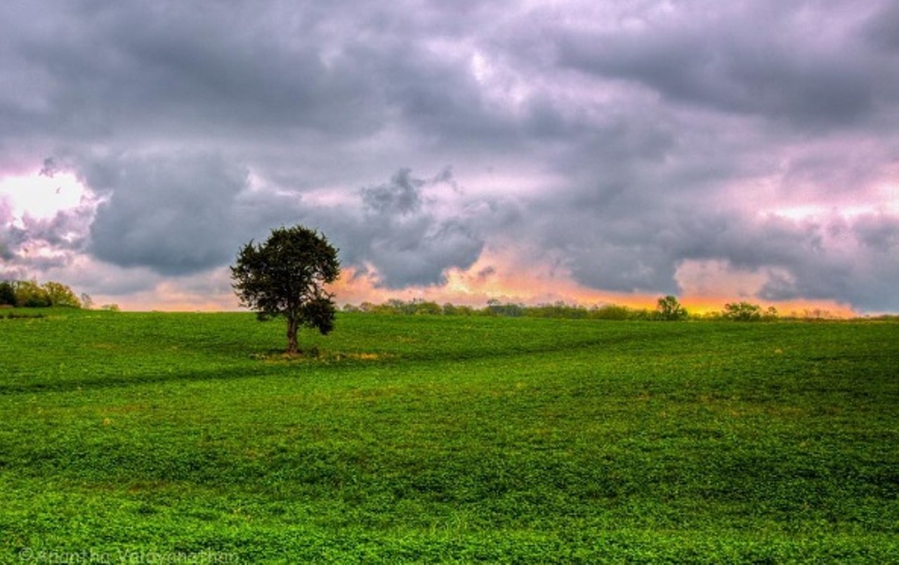
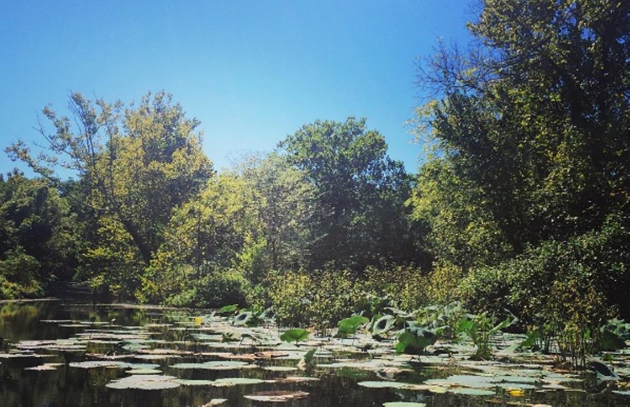
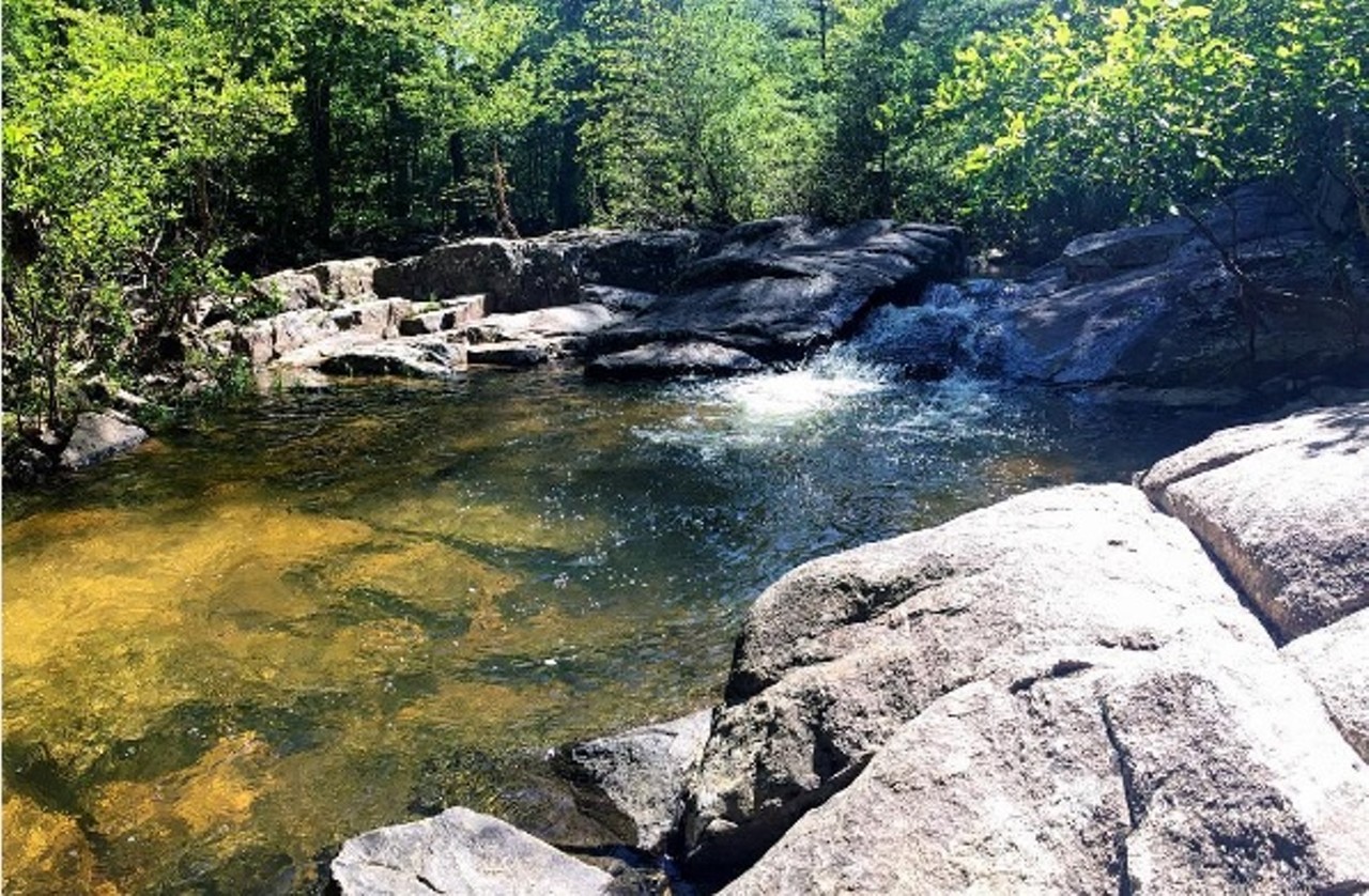
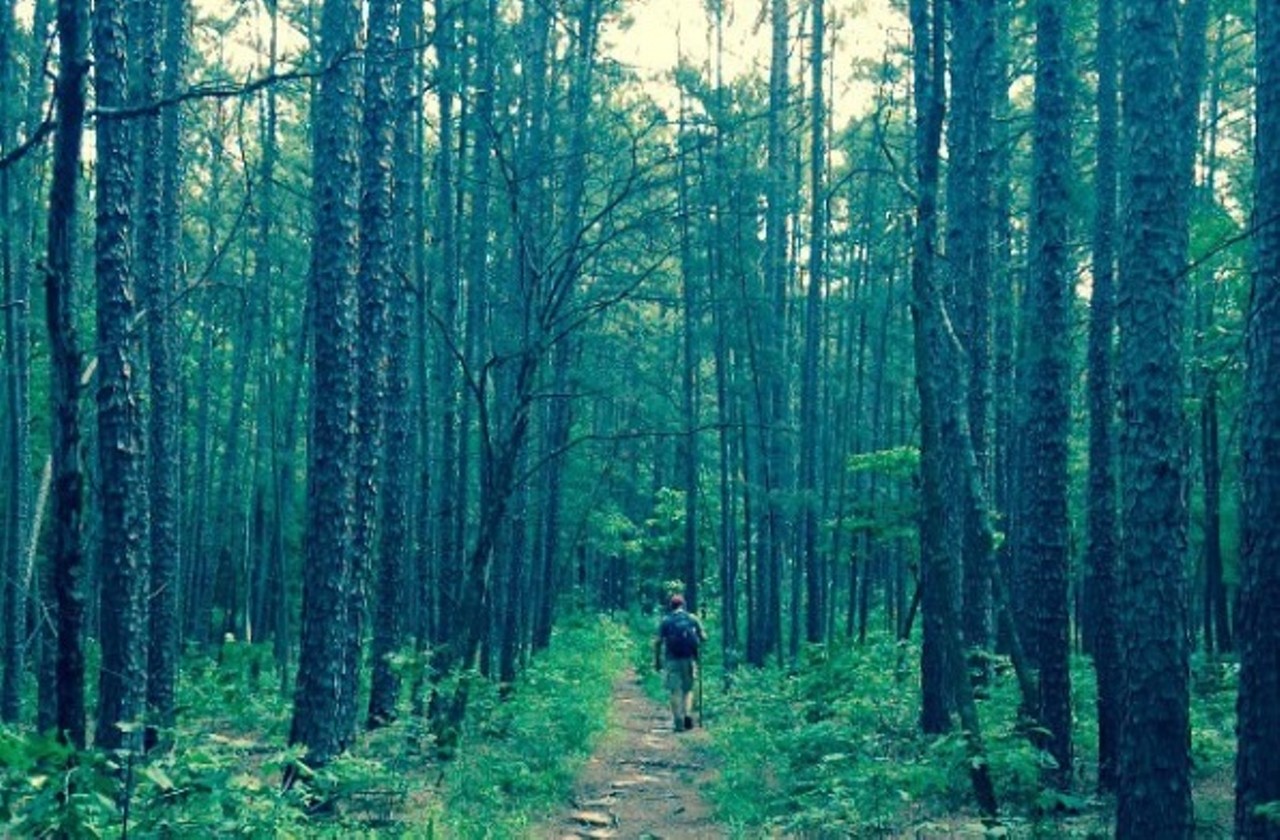
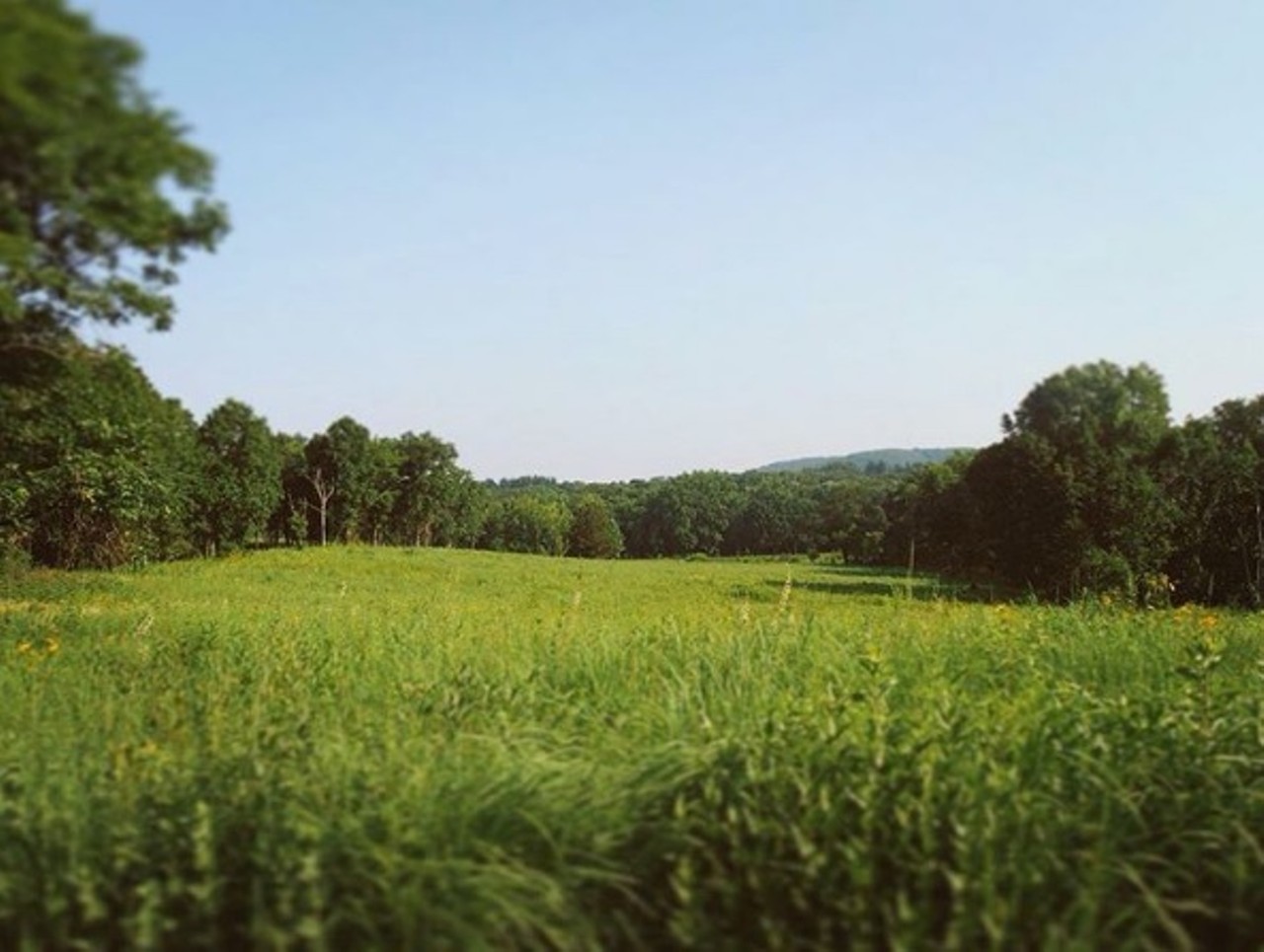
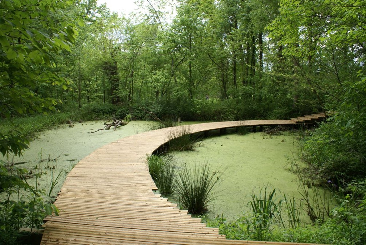
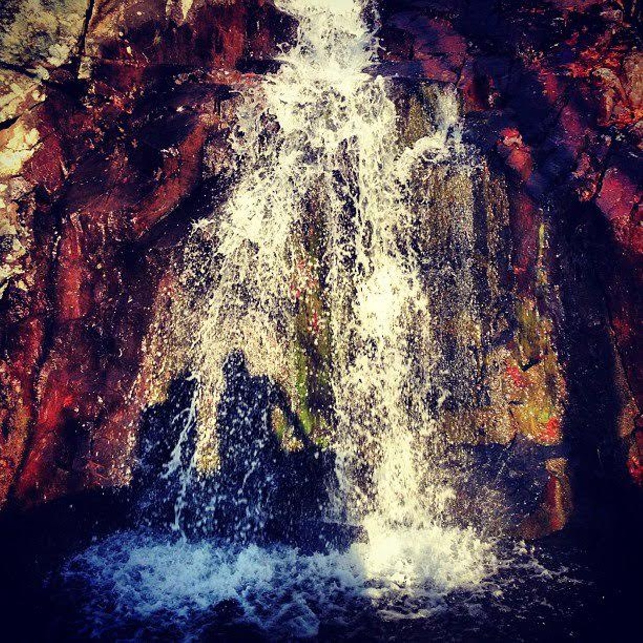
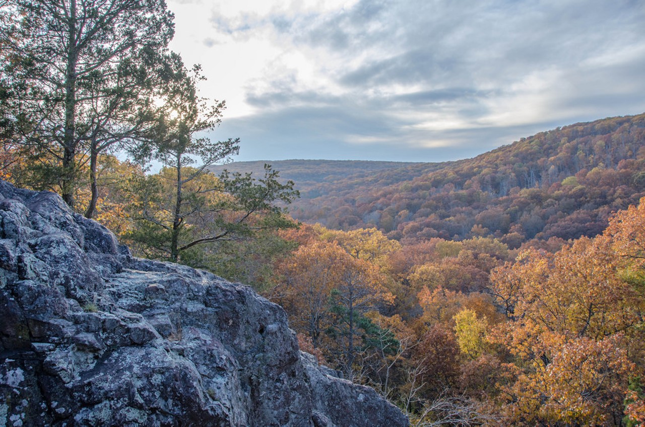
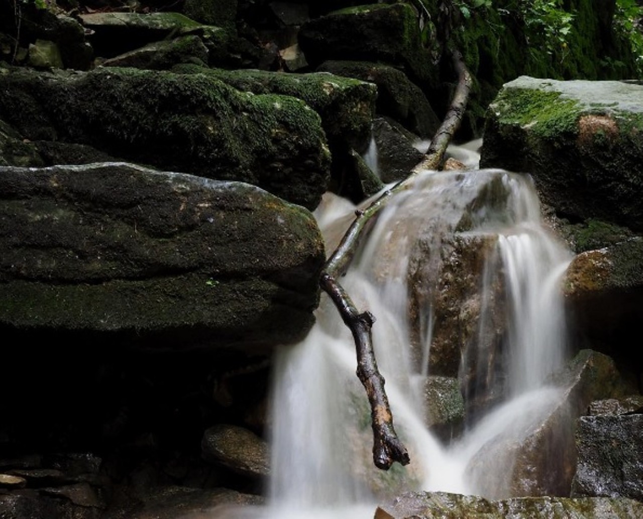
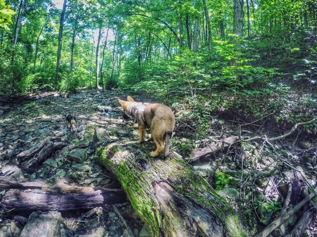
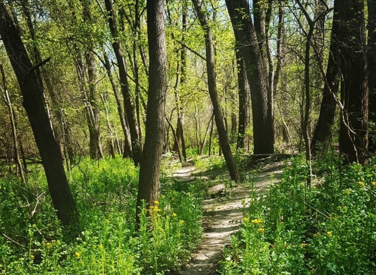
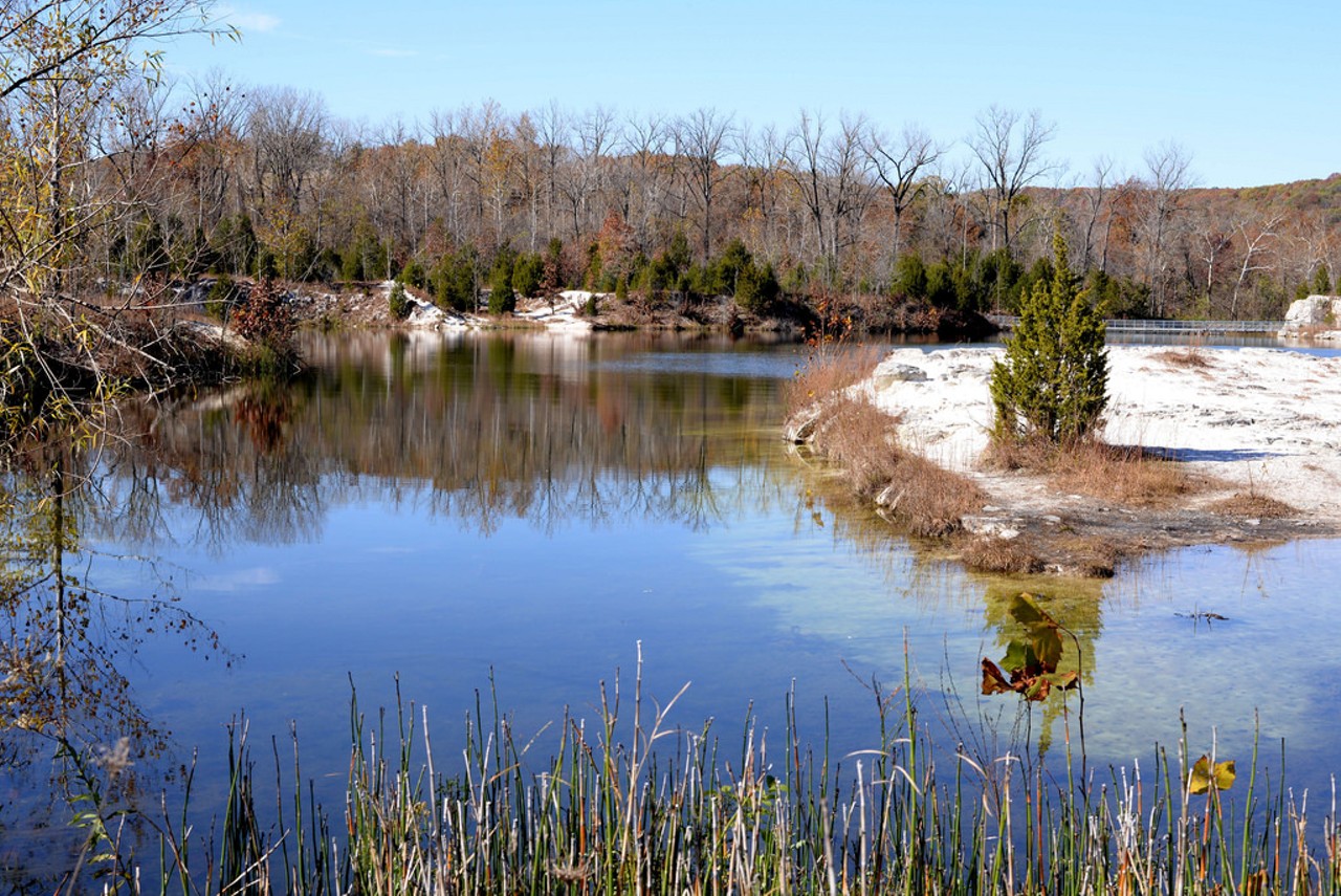
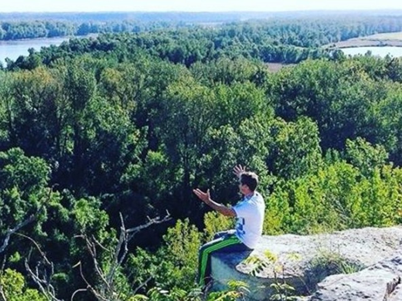
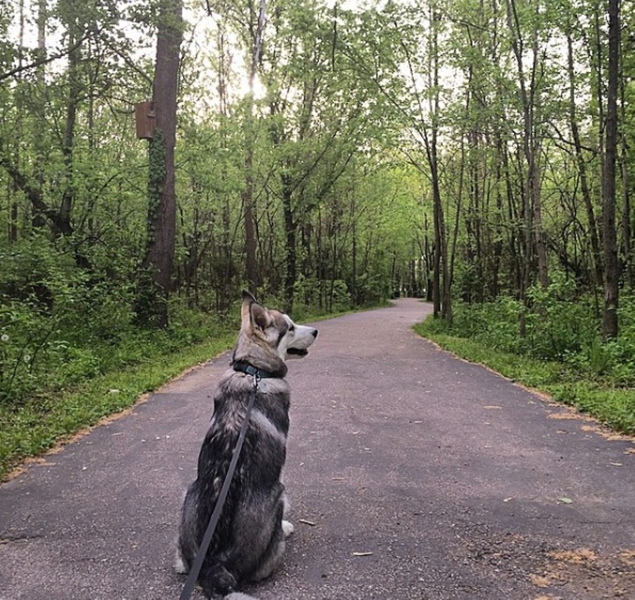
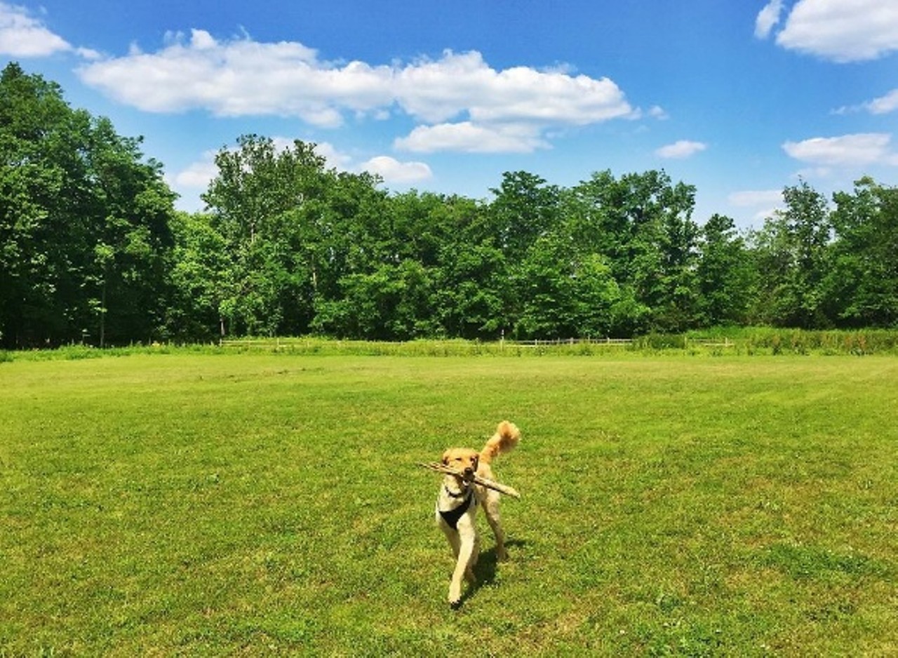
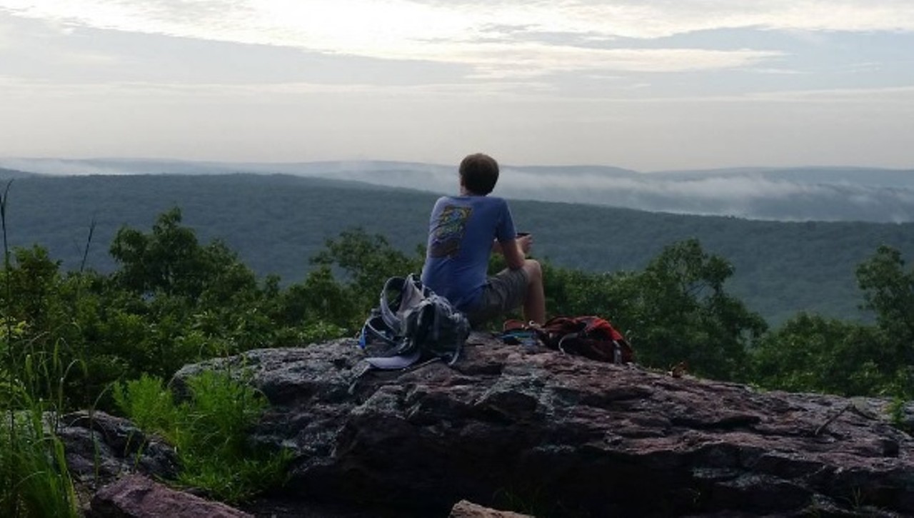
Ready for a little adventure? Missouri is full of amazing hiking spots for you to get your nature fix -- and lucky for us, many are just a short drive from St. Louis. We've picked ten of our favorites, varying in difficulty and distance from home, each with a couple of photos so you can get an idea of what to expect. Whether you try one of these beautiful trails or all of them, in the end you'll have to agree: The outdoor options offered in Missouri are seriously underrated.
08/16/2016