7 Great Family-Friendly Hikes Near St. Louis

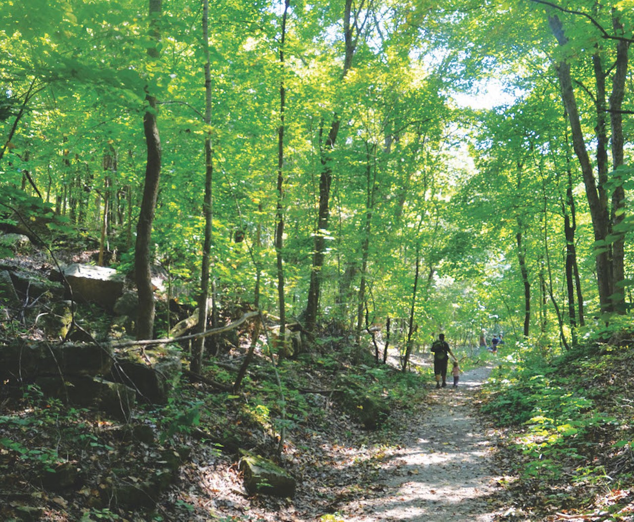
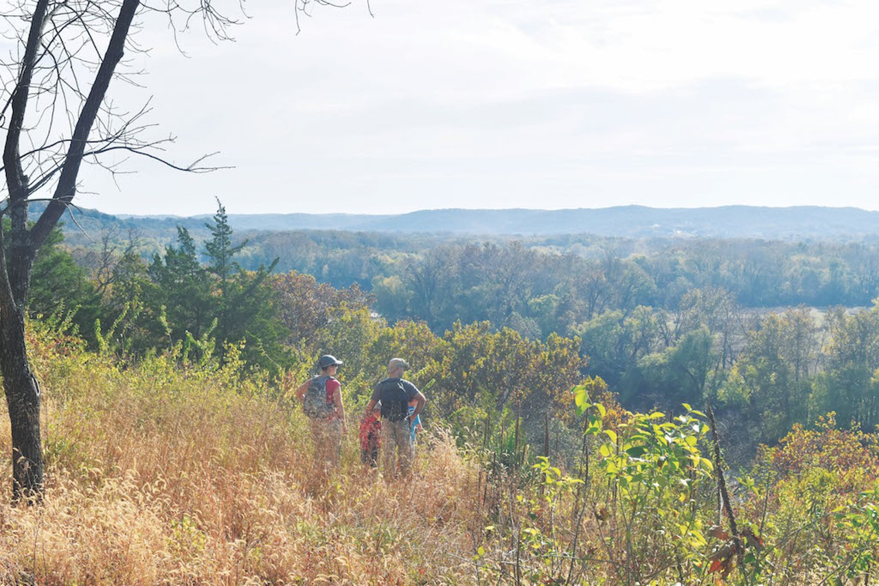
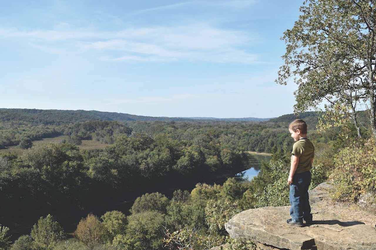
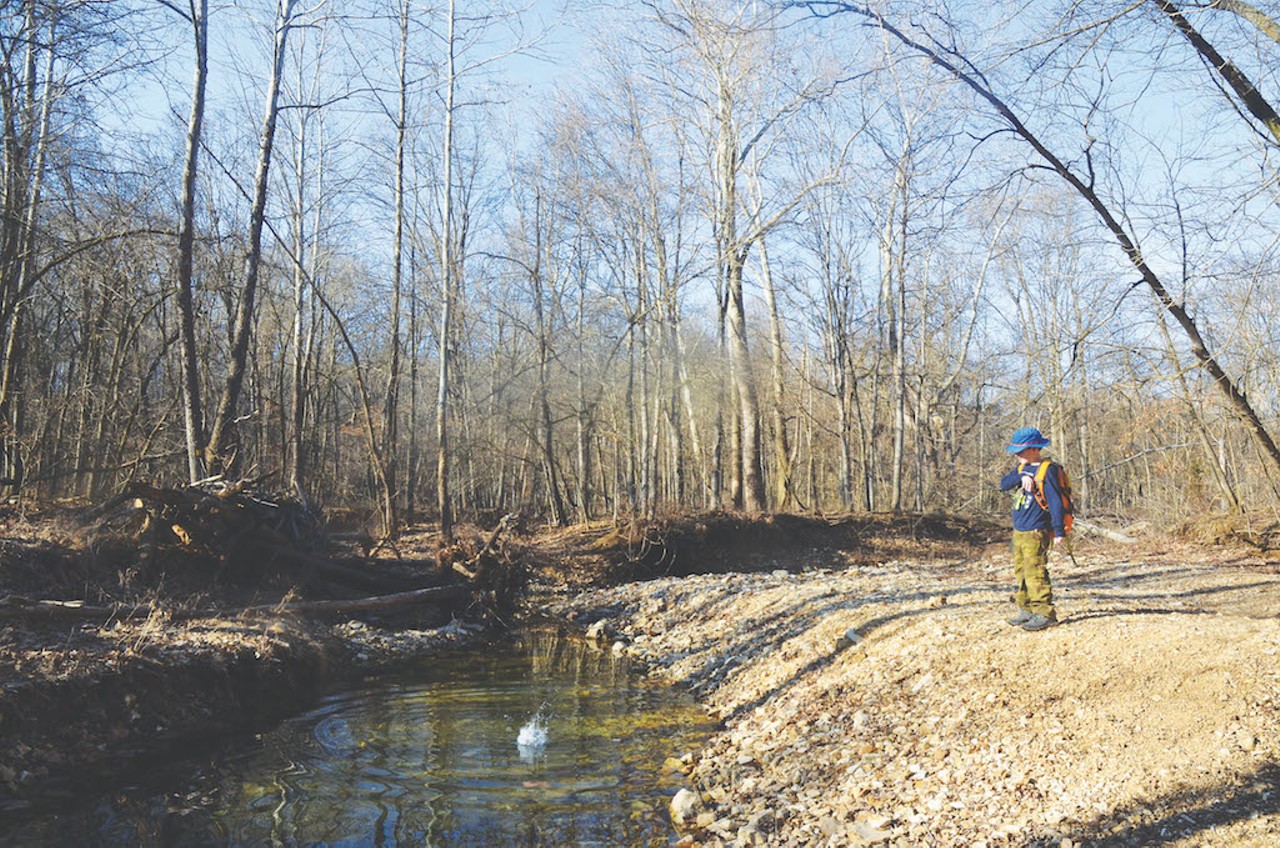
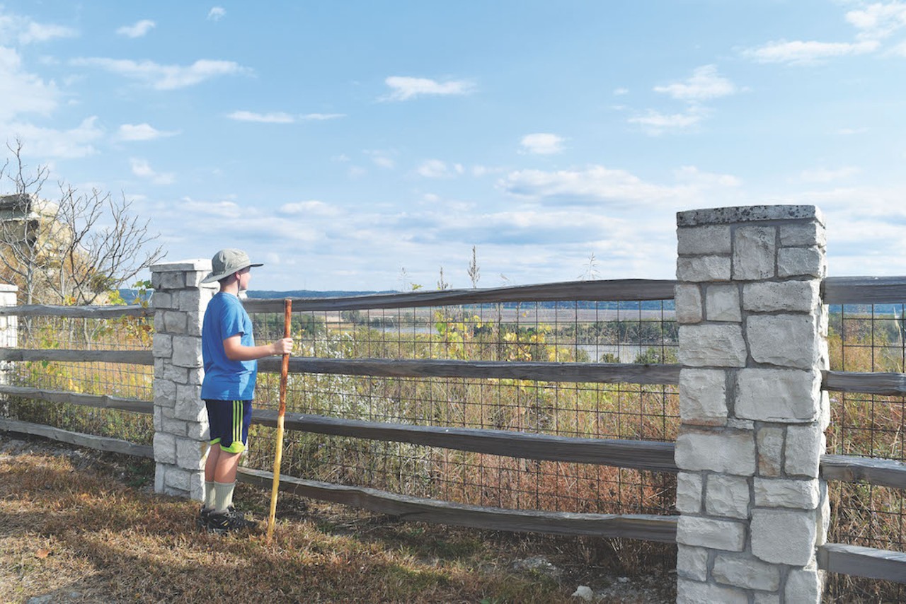
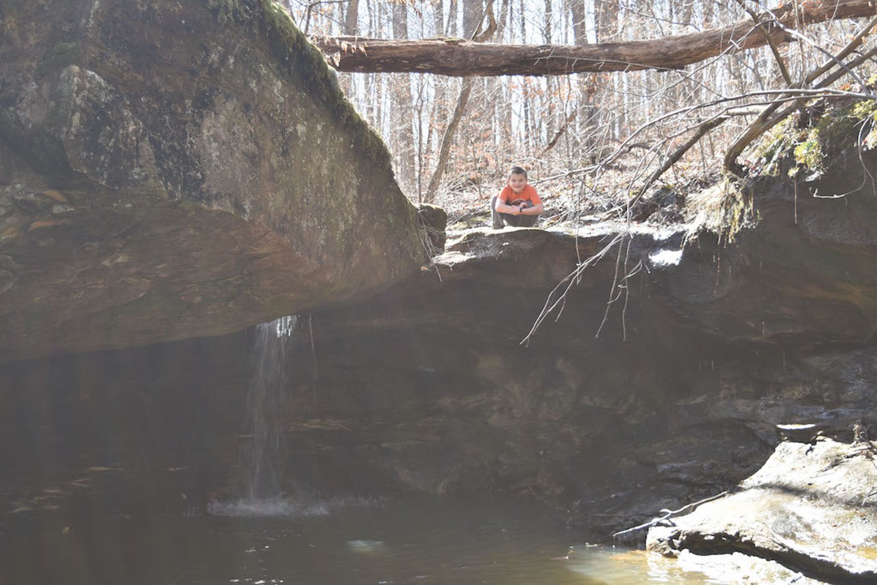
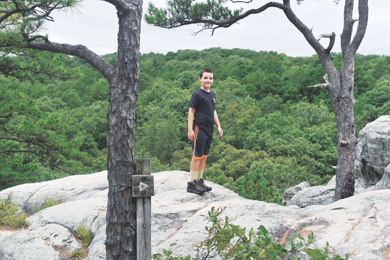
Kathy Schrenk is a firm believer that anyone can — and should — hike with their kids. And she's definitely done her homework.

Her new book, Best Hikes with Kids: St. Louis and Beyond, published by Seattle-based Mountaineers Books this month, includes detailed information on 82 different hikes. Schrenk painstakingly researched all of them, often with her kids (ages twelve, ten and five) in tow. For more on Schrenk, read our profile here. Or just page through this list of her top recommendations. They'll give you great insight of where to go when you're ready to get outdoors — but not quite sure if your kids are ready to rapel down a mountain just yet.
Scroll down to view images
1. Rockwoods Reservation, Rock Quarry Trail
St. Louis County; Missouri Department of Conservation map
Says Schrenk, “Rockwoods Reservation is part of a cluster of parks along Interstate 44 that’s an easy drive from just about anywhere in the metro area. There are hikes for all levels, and this one stands out because it provides a mild challenge while being gentle enough for little legs. The bulk of the 2-mile loop goes through a lovely forest, and toward the end, there is a ‘cave’ that is a remnant of a mining operation and makes for fun exploring.” 
Photo by Kathy Schrenk
1. Rockwoods Reservation, Rock Quarry Trail
St. Louis County; Missouri Department of Conservation map

Says Schrenk, “Rockwoods Reservation is part of a cluster of parks along Interstate 44 that’s an easy drive from just about anywhere in the metro area. There are hikes for all levels, and this one stands out because it provides a mild challenge while being gentle enough for little legs. The bulk of the 2-mile loop goes through a lovely forest, and toward the end, there is a ‘cave’ that is a remnant of a mining operation and makes for fun exploring.”

Photo by Kathy Schrenk
1 of 7
2. Bluff View
St. Louis County; Wildwood Department of Parks and Recreation info
“The trail at Bluff View Park is an out-and-back, so you can chose your distance and destination," Schrenk says. "Turn around after just half a mile, once you’ve taken in the vista over the Meramec River. Or, if you want to extend the hike, head down the gentle hill through a dense forest filled with wildlife. You can hike all the way to the river and the Al Foster Trail, making for a total of five scenic miles.” 
Photo by Kathy Schrenk
2. Bluff View
St. Louis County; Wildwood Department of Parks and Recreation info

“The trail at Bluff View Park is an out-and-back, so you can chose your distance and destination," Schrenk says. "Turn around after just half a mile, once you’ve taken in the vista over the Meramec River. Or, if you want to extend the hike, head down the gentle hill through a dense forest filled with wildlife. You can hike all the way to the river and the Al Foster Trail, making for a total of five scenic miles.”

Photo by Kathy Schrenk
2 of 7
3. Castlewood State Park, Lone Wolf and River Scene trails
St. Louis County; Missouri State Parks info
“This is one of the most popular hikes in the region (for this reason, try to avoid going on weekends when the weather is nice)," Schrenk warns. "It’s got a tough start – a steep, gravely path straight up the hill – but there’s a quick payoff with lots of opportunities to catch your breath while taking in the famous view across the Meramec River. Then descend about 200 stairs and cross under the railroad tracks to see the river close up. It’s a good spot for kids to scramble on the rocks and look for toads before hiking along the water back to the playground.”
Photo by Kathy Schrenk
3. Castlewood State Park, Lone Wolf and River Scene trails
St. Louis County; Missouri State Parks info

“This is one of the most popular hikes in the region (for this reason, try to avoid going on weekends when the weather is nice)," Schrenk warns. "It’s got a tough start – a steep, gravely path straight up the hill – but there’s a quick payoff with lots of opportunities to catch your breath while taking in the famous view across the Meramec River. Then descend about 200 stairs and cross under the railroad tracks to see the river close up. It’s a good spot for kids to scramble on the rocks and look for toads before hiking along the water back to the playground.”

Photo by Kathy Schrenk
3 of 7
4. Cuivre River, Lone Spring Trail
West of St. Louis; Missouri State Parks info
Says Schrenk, “Cuivre River State Park, about 30 miles north of St. Charles, is one of Missouri’s largest state parks. The Lone Spring Trail is a moderate four-mile hike through deep, peaceful forest. Stop at an idyllic creek crossing, take a side trip to a picturesque lake, even camp overnight in the wilderness at one of the prettiest backpacking sites around. There’s even a spring close by where you can filter water.”
Photo by Kathy Schrenk
4. Cuivre River, Lone Spring Trail
West of St. Louis; Missouri State Parks info

Says Schrenk, “Cuivre River State Park, about 30 miles north of St. Charles, is one of Missouri’s largest state parks. The Lone Spring Trail is a moderate four-mile hike through deep, peaceful forest. Stop at an idyllic creek crossing, take a side trip to a picturesque lake, even camp overnight in the wilderness at one of the prettiest backpacking sites around. There’s even a spring close by where you can filter water.”

Photo by Kathy Schrenk
4 of 7
5. Klondike Park
St. Charles County; St. Charles County Parks info
“St. Charles County is rich with county parks that have amazing trails. The one at Klondike County Park ranks high on the list. Its trail is less than two miles but it has amazing views across the Missouri River. Then the trail winds down through the forest to a pretty creek, all just minutes from Augusta.” 
Photo by Kathy Schrenk
5. Klondike Park
St. Charles County; St. Charles County Parks info

“St. Charles County is rich with county parks that have amazing trails. The one at Klondike County Park ranks high on the list. Its trail is less than two miles but it has amazing views across the Missouri River. Then the trail winds down through the forest to a pretty creek, all just minutes from Augusta.”


Photo by Kathy Schrenk
5 of 7
6. La Barque
South of St. Louis; Missouri Department of Conservation info
“The trail at LaBarque Creek Conservation Area is beautiful any time of year, but it’s especially fun in the summer because it leads to one of my favorite splash zones," enthuses Schrenk. "A mile from the parking lot, scramble down to the creek and follow the water just 20 feet or so to a shaded grotto. If it’s rained recently there might be a quiet waterfall. If not, there will still be frogs and tadpoles to enjoy. When it seems like St. Louis summer will never end, this is the hike to try.”
Photo by Kathy Schrenk
6. La Barque
South of St. Louis; Missouri Department of Conservation info

“The trail at LaBarque Creek Conservation Area is beautiful any time of year, but it’s especially fun in the summer because it leads to one of my favorite splash zones," enthuses Schrenk. "A mile from the parking lot, scramble down to the creek and follow the water just 20 feet or so to a shaded grotto. If it’s rained recently there might be a quiet waterfall. If not, there will still be frogs and tadpoles to enjoy. When it seems like St. Louis summer will never end, this is the hike to try.”

Photo by Kathy Schrenk
6 of 7
7. Pickle Springs Natural Area
South of St. Louis; Missouri Department of Conservation info
“There are lots of really spectacular hikes in the area, but I think the ‘Trail Through Time’ at Pickle Springs may be my absolute favorite," Schrenk says. "It feels unlike anything else in the area, with its pine forest and rock formations with names like ‘The Slot’ and ‘Rockpile Canyon.’ If you can make the hike in the winter after a cold snap, you can see remarkable frozen waterfalls and ice formations.”
Photo by Kathy Schrenk
7. Pickle Springs Natural Area
South of St. Louis; Missouri Department of Conservation info

“There are lots of really spectacular hikes in the area, but I think the ‘Trail Through Time’ at Pickle Springs may be my absolute favorite," Schrenk says. "It feels unlike anything else in the area, with its pine forest and rock formations with names like ‘The Slot’ and ‘Rockpile Canyon.’ If you can make the hike in the winter after a cold snap, you can see remarkable frozen waterfalls and ice formations.”

Photo by Kathy Schrenk
7 of 7